
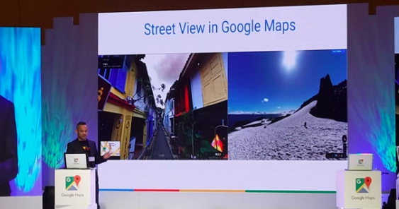

MANILA – Armchair travellers rejoice! The wonders of places like Mt. Pulag, Bantigui Island and Corregidor are now available online via Google Maps’ Street View function.
Supported by the Department of Tourism, the 360-degree panoramic views of 37 major metropolitan areas in the country and 35 historic locations, including eight UNESCO World Heritage Sites – a virtual trip to places like Vigan’s cobblestoned paths and Hispanic houses, or the Baroque churches of the Philippines.
This feature now allows explorers from anywhere across the world to explore the tourist destinations like Baguio, the Gigantes Islands, and other recreational spots like the country’s national parks (Luneta Park, Paco Park), Iloilo’s Miag-ao Church, or even parts of the bustling Saranggani Province—Manny Pacquiao’s turf—which includes General Santos City.
The wonders of the Philippines, now available on Google Street View.
Posted by Adobo Magazine on Thursday, September 17, 2015
Pacquiao joked with the press at the launch, telling them he no longer needed to spend a bundle of money to show them the beauty of his province, as it was recorded in Google Street View in all its glory. Tourism Secretary Mon Jimenez, represented by Domingo Ramon Enerio, III, conveyed his enthusiasm about how this new feature would encourage more visitors to the country as they would better experience what their surroundings would look like, as captured by Google in ideal conditions.
Covering a wide swath of picturesque territory, the data was collected and recorded by Google’s Street View cars, and highlights were captured with the help of Trekker backpacks which allowed users to walk at a measured pace while recording their surroundings (where vehicles normally cannot pass, like bike trails or walking paths).
Private resort owners or institutions who want their surroundings become part of the map can send a message to Google PH asking how they can borrow a Trekker unit for a few weeks of data recording. Alternatively, they can also use their Android phones to record data without the help of a Trekker or Street View camera, and use a program which stitches the images together for a 360 view for inclusion in Street View.
To find out more about Street View, please visit www.google.com/maps/views